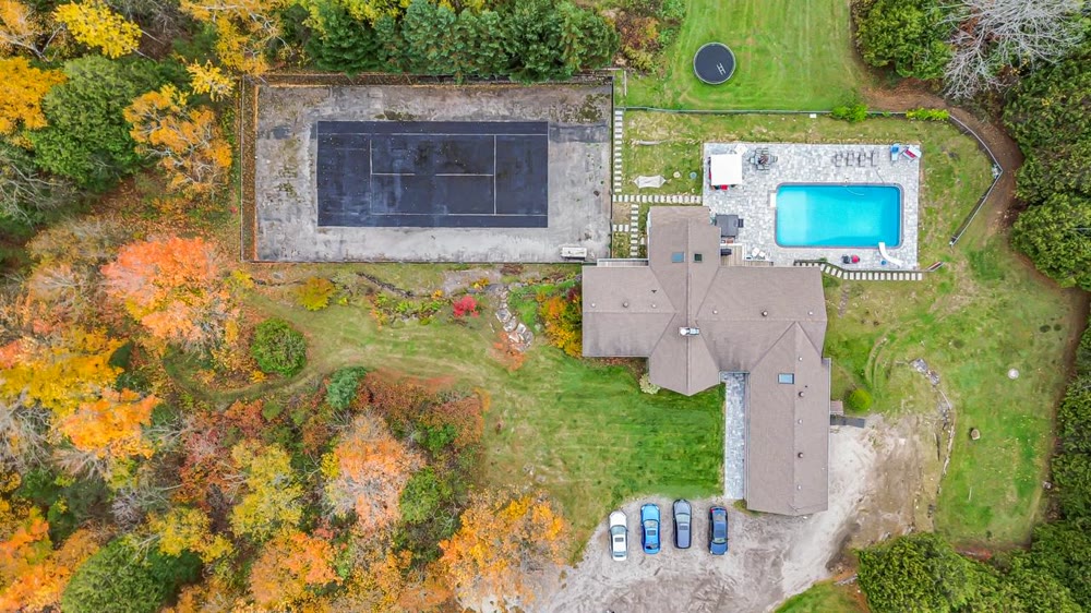
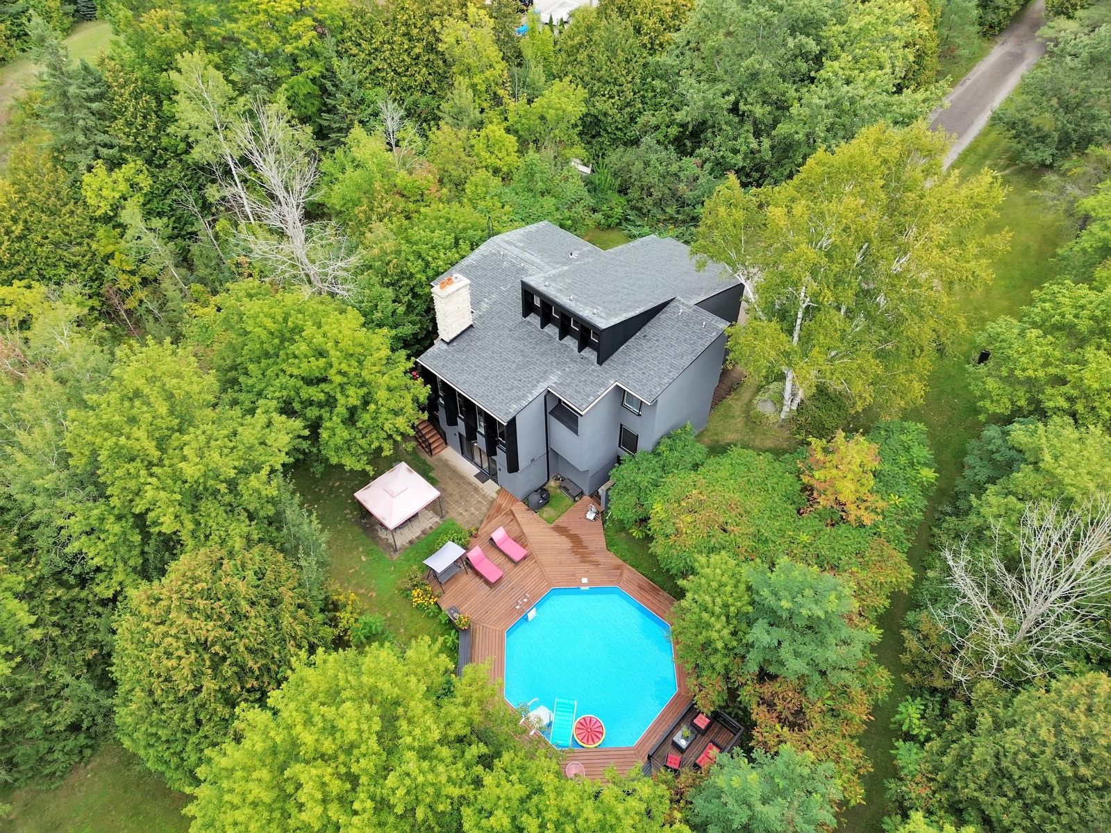
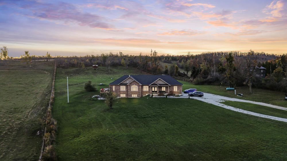
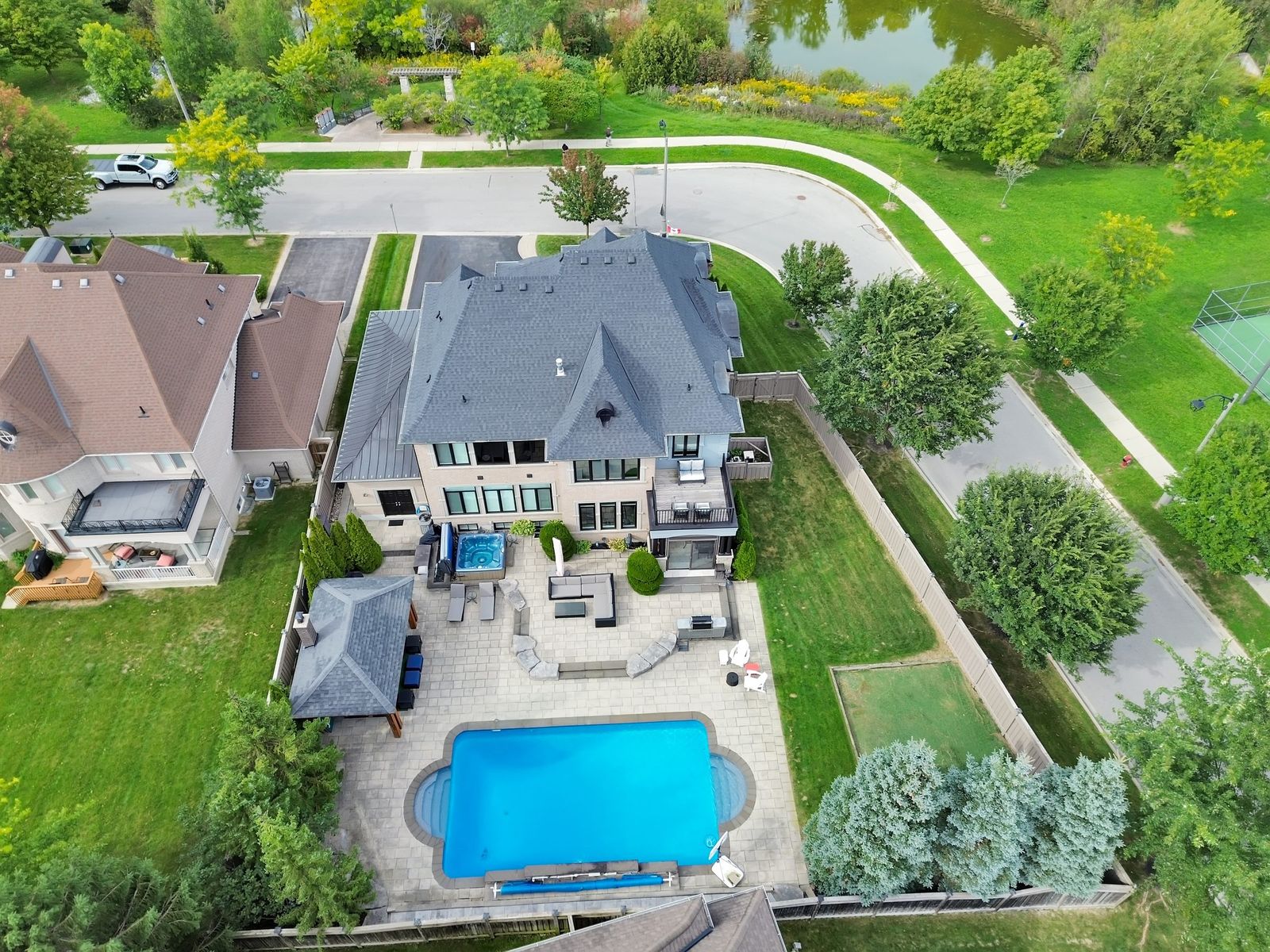
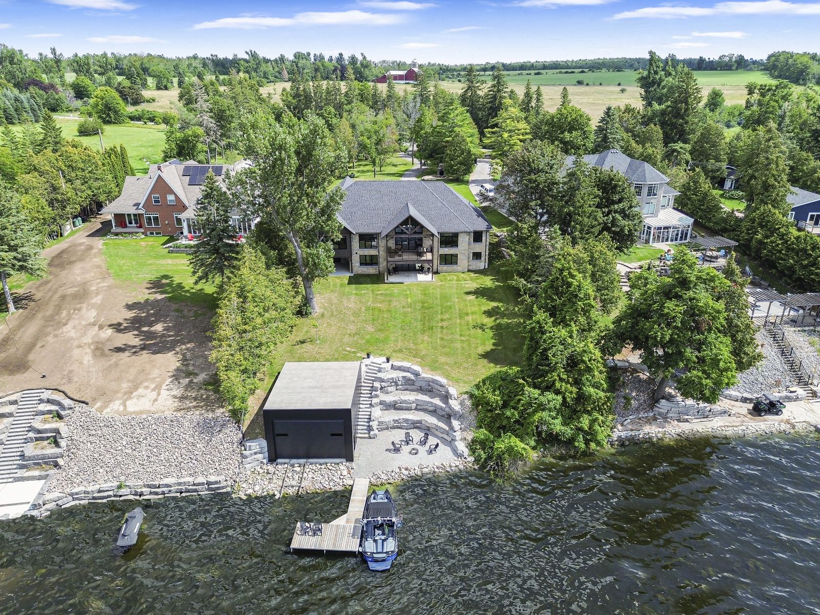
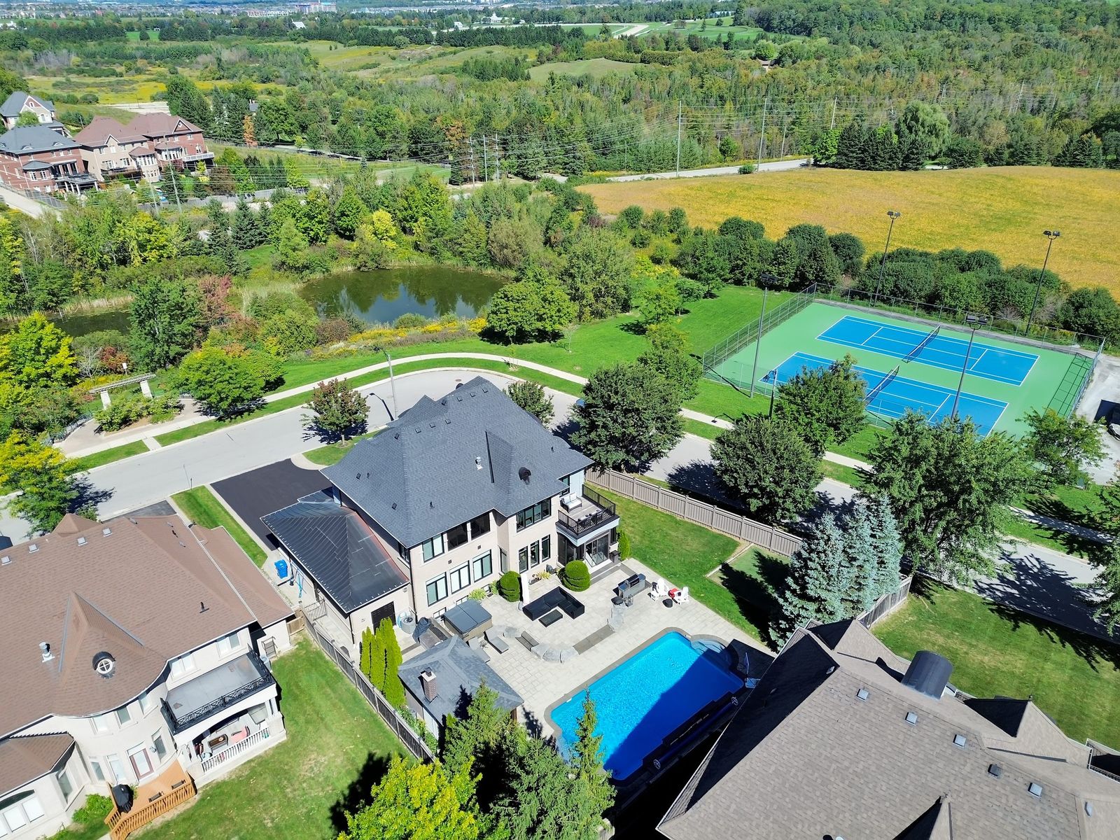
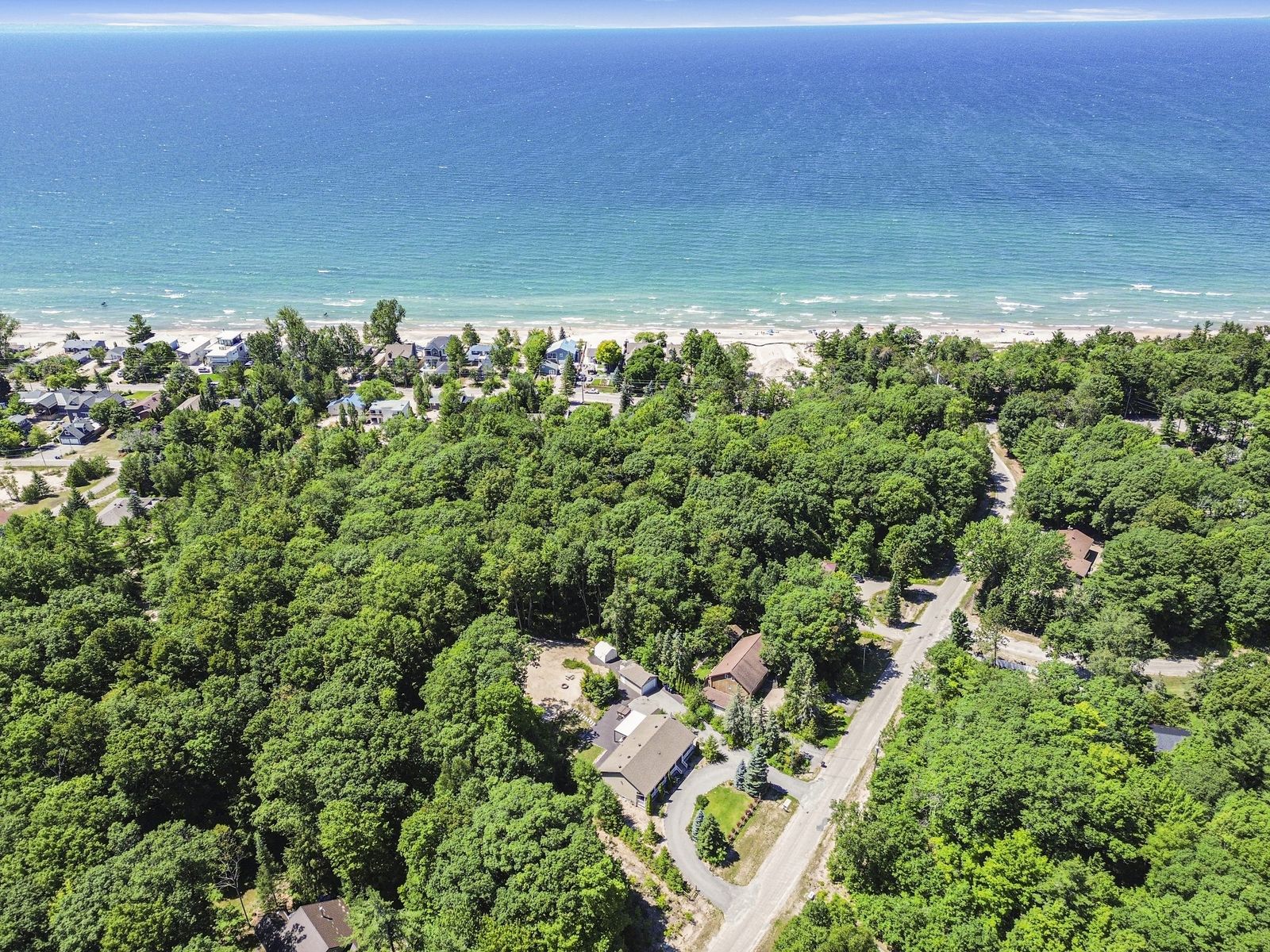
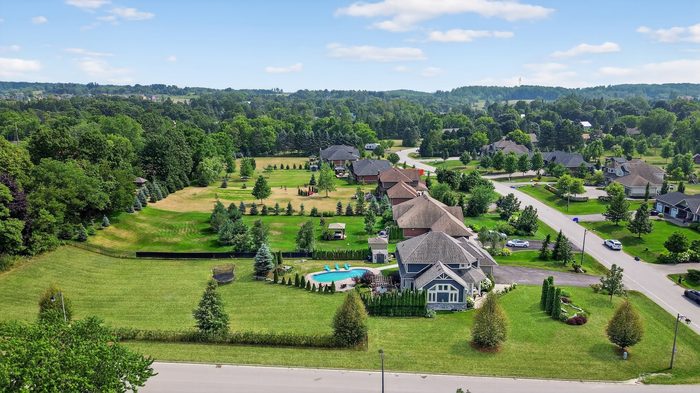
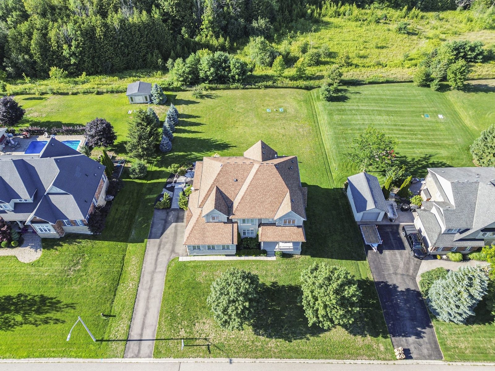
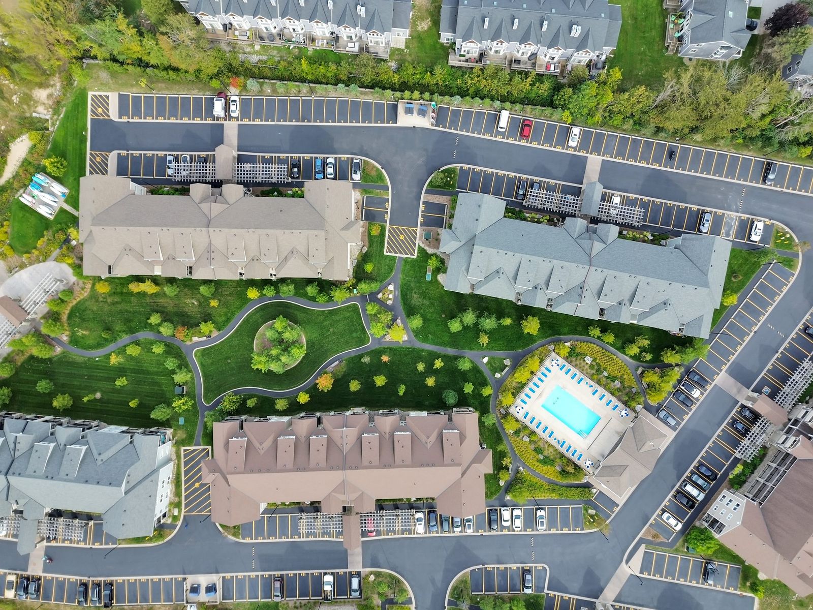
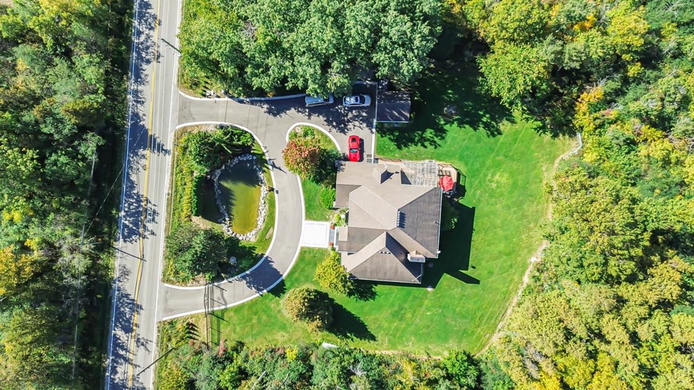
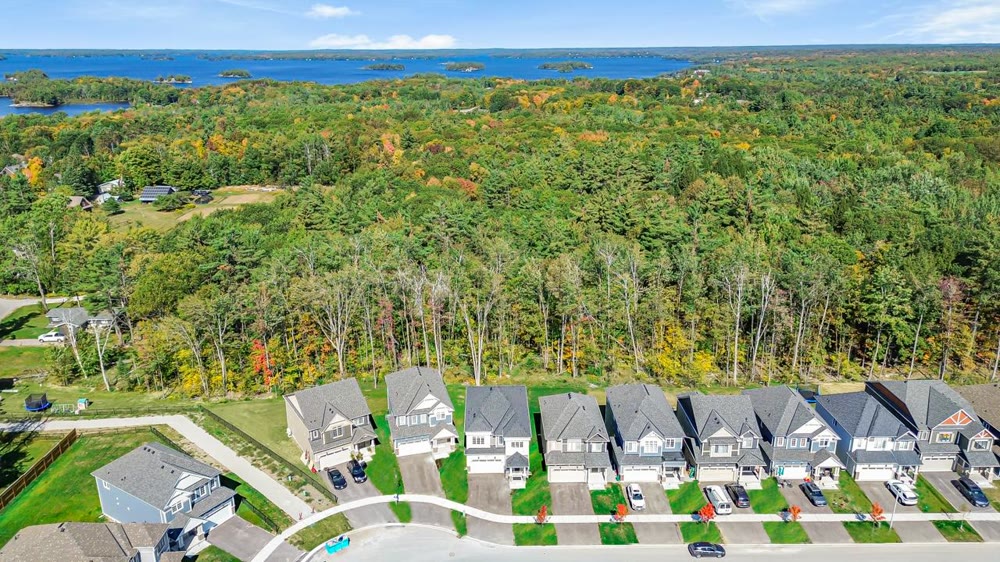
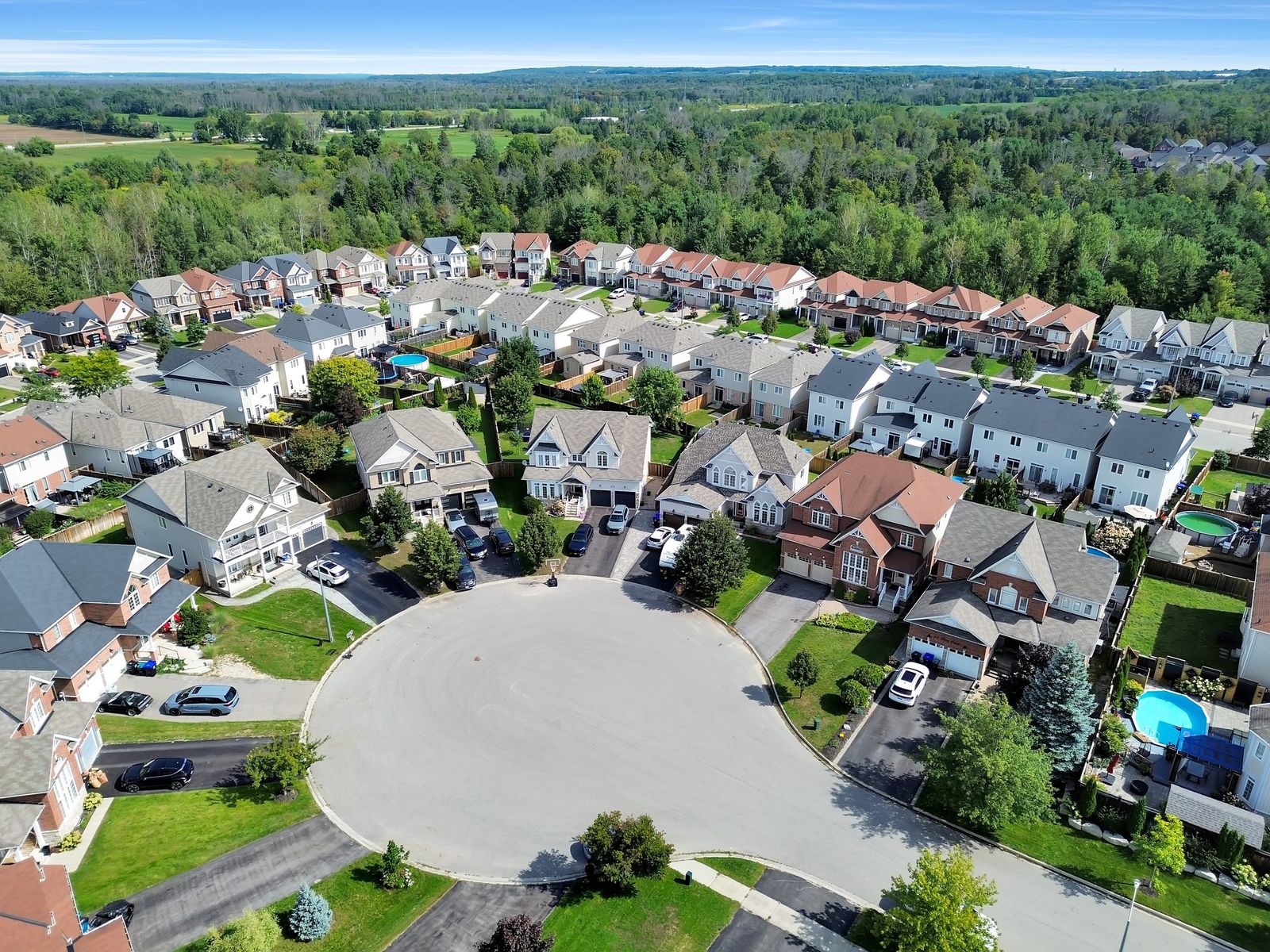
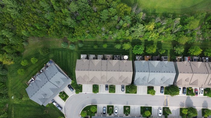
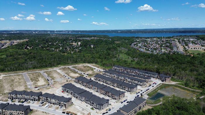
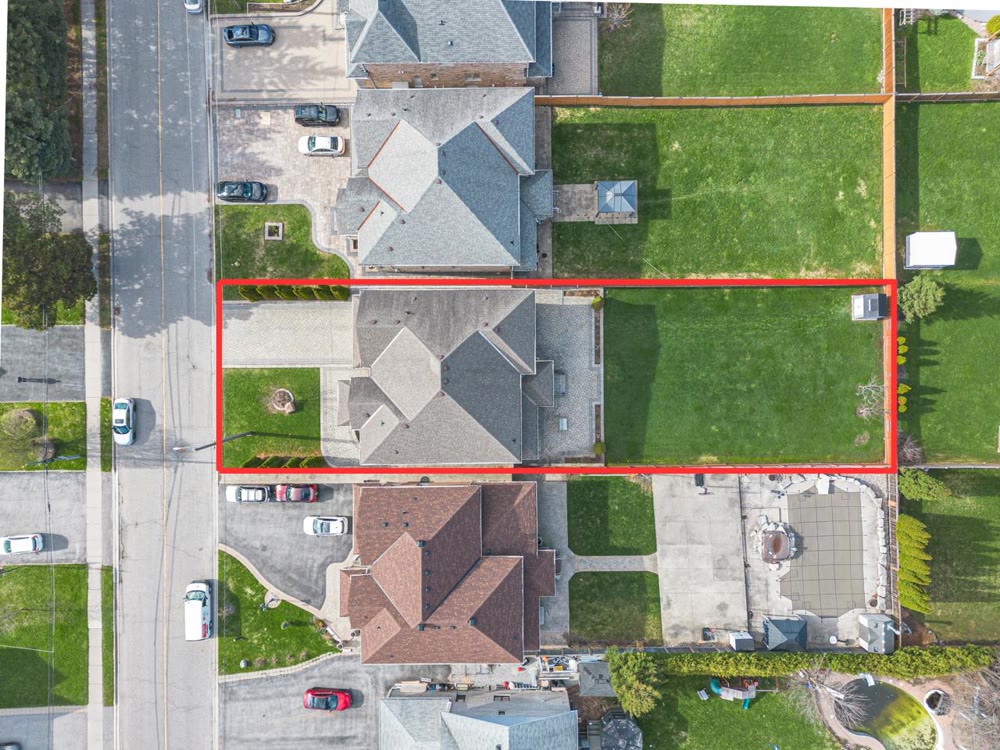
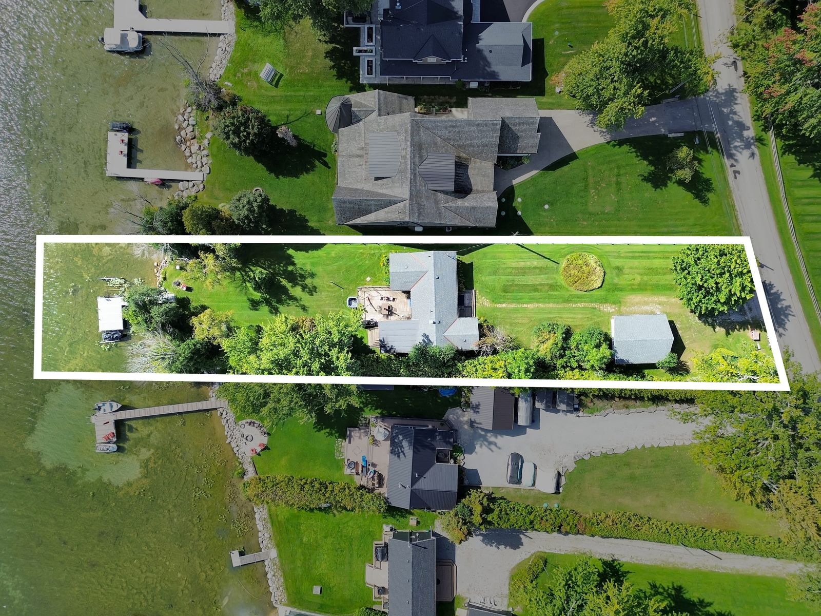
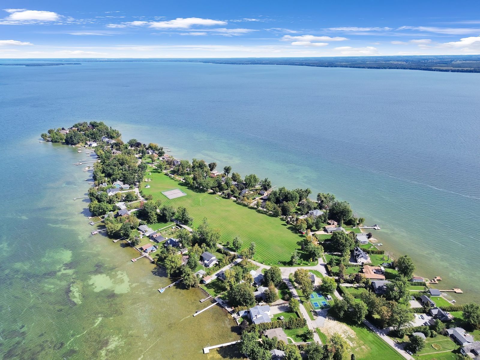
Drone aerial photograph of a detached home and its property lines in York Region, Ontario
Drone Aerials

Aerial that sells homes faster.

Listings with aerial photos sell up to 68% faster and pull more showings — buyers grasp the lot, the setting, and the lifestyle before they book. Every AEON aerial includes a free property-line overlay and labeled amenities.

01

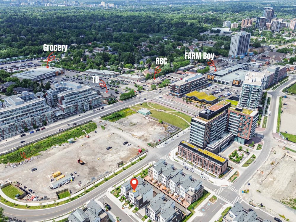
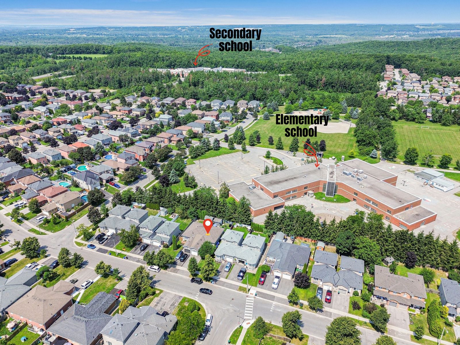
Amenity labels

We mark the marina, shops, banks, schools and transit around the property right on the aerial — buyers see the whole lifestyle, not just the lot.

02

Free property outline

Every aerial includes a professional property-line overlay — buyers see exactly what they're getting.

03

Photo + video

Aerial stills, cinematic flyovers, or both — quoted for your property in one text.

Recent work

From real GTA listings.

Drone video

Not just stills. Motion too.

Prefer it on your own channel? We deliver the raw file too — upload it wherever you like.

FAQ

Questions agents ask.

Is drone photography worth it for a listing?

For most listings, yes. Aerial photos help homes sell up to 68% faster and pull more clicks and showings — it's one of the least expensive ways to make a listing stand out in a crowded feed.

How much does drone add to the shoot?

It's quoted with the rest of your package, based on the property and what you need. Text your address and you'll have an exact number within the hour.

Are there any spots you can't fly?

Airport zones and restricted airspace are off-limits, so if a listing sits in one we'll flag it upfront. Everywhere else across the GTA's residential neighbourhoods, our compact drone captures the whole property with no permits or delays.

Can you label the lot lines and nearby amenities?

Yes — every aerial can include a free property-line overlay plus labels for the marina, shops, banks, schools and transit nearby, so buyers see the lot and the lifestyle at a glance.

What if it's too windy or raining to fly?

Drones don't fly safely in heavy wind or rain, so we reschedule just the aerial portion to the next clear window — usually within a day — at no extra charge.

Do you shoot aerial video too, or just photos?

Both — aerial stills, cinematic flyovers, or a combination. Quoted for your property in one text.

What areas do you fly for drone real estate photography?

All of York Region — Keswick, Newmarket, Aurora, Richmond Hill, Markham, Vaughan, Georgina, East Gwillimbury, Stouffville and King City — plus Simcoe County (Barrie, Innisfil, Bradford, Alliston, Orillia), the wider GTA and Durham Region. Cottage-country properties in Muskoka, Bracebridge and Collingwood are covered by request, and waterfront work on Lake Simcoe and Georgian Bay is a regular part of what we shoot.

Are you a licensed drone pilot?

Yes. Commercial drone work in Canada is regulated by Transport Canada, so shooting a listing legally requires a valid RPAS certificate, a registered aircraft and liability insurance. We fly certified and insured, and we check the airspace against the property address before we quote — so you are never promised an aerial we cannot legally deliver.

What time of year is best for aerial photos?

Aerials work year-round, but they read differently by season. Late spring through early fall gives you green lawns and blue water. Fall colour makes rural and treed lots look their best. Winter aerials are honest but flatten out under grey skies — if a listing is going live in February and the lot is the selling point, it is worth asking whether we have usable footage from a previous season.

More on drone photography in York Region

What drone photography adds to a real estate listing

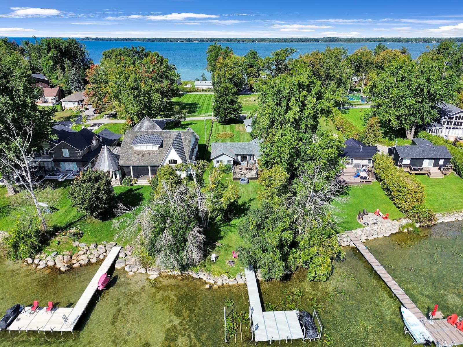
A ground-level exterior shows a buyer the front of a house. An aerial shows them the property — how deep the lot runs, where the pool and the garage sit, what backs onto the yard, how far it really is to the water or the park at the end of the street. Those are the questions that decide whether someone books a showing, and they are almost impossible to answer from a photo taken from the driveway.

That matters most on the listings where the land is part of the price. An estate on an acre, a waterfront property, a corner lot, a bungalow with a deep backyard, a home backing onto green space — in every one of those cases the aerial is the photo that justifies the asking price. On a townhouse with a six-foot yard it adds less, and we will say so rather than sell you a flight you do not need.

Property-line overlays and neighbourhood amenity labels

Every aerial we deliver can include a property-line overlay at no extra charge — the lot boundary drawn cleanly onto the photo so a buyer sees exactly what is included. It ends the most common question in a showing before it is asked, and on irregular or pie-shaped lots it often makes the property look considerably larger than the street view suggests.

We also label neighbourhood amenities straight onto a wider aerial: schools, the grocery store, transit, the marina, the plaza, the highway on-ramp. For buyers moving into York Region or Simcoe County from somewhere else — which is most of them — that single labelled frame does more work than a paragraph of listing remarks. It is the image agents tell us gets shared and saved most often.

Licensed and insured drone photography

Commercial drone flights in Canada are regulated by Transport Canada. Operating a drone for a real estate listing is commercial work, which means the pilot needs a valid RPAS certificate, a registered aircraft, and liability coverage. Plenty of people with a drone will shoot a listing for cheap; not all of them are flying legally, and the exposure for that sits with the listing brokerage as much as the pilot.

We fly certified and insured, we check the airspace before every booking, and if a property sits inside controlled airspace or a restricted zone we tell you at the quote stage rather than on the morning of the shoot. It is the least exciting part of this service and the part worth asking every photographer about.

When we can and cannot fly

Drones do not fly safely in heavy wind, rain or snow, and the footage is not worth having in flat grey light. If the weather turns we reschedule the aerial portion only — the interior shoot goes ahead as planned and we come back for the flight, usually within a day, at no extra cost.

Airspace is the other limit. Properties near Buttonville, Toronto Pearson or a hospital helipad sit in controlled airspace where flights need authorization or are not permitted at all. We check the property address against current airspace data before we quote, so you are never promised an aerial we cannot legally deliver.

Where we fly

Drone real estate photography across York Region — Keswick, Newmarket, Aurora, Richmond Hill, Markham, Vaughan, Georgina, East Gwillimbury, Stouffville and King City — and Simcoe County, including Barrie, Innisfil, Bradford, Alliston and Orillia. We also cover the wider GTA, Durham Region, and cottage-country properties in Muskoka, Bracebridge and Collingwood by request. Waterfront work on Lake Simcoe and Georgian Bay is a regular part of what we shoot.
Book today. Listing live tomorrow.

Text your property address — quote within the hour, shoot within 48, photos by 9 AM tomorrow.

Photos by 9 AM tomorrowSame-week booking5.0 ★ on GoogleBlue sky guaranteed
Build my package →Text 437-258-4601
💬 Text us — we reply fast